
East Chicago Neighbor Record Sources
Public sources describe a block in layers. The parcel viewer shows lot boundaries and adjacency. Assessor and tax records connect each parcel with an owner and mailing address. Recorder instruments establish legal title history. Precinct maps supply civic geography, while historic directories and community archives preserve names from earlier periods. None is a complete current roster of residents.
| Source | What It Shows About a Block | Access |
|---|---|---|
| Lake County parcel map | Parcel edges, situs clues, and nearby lots | Free dynamic viewer |
| Assessor Engage | Owner, mailing address, parcel card, sales and map tabs | Free; data updates periodically |
| Recorder deeds | Legal owner transfers for each lot | Account portal or Recorder counter |
| Voter records | Individual validation or an approved data request | Indiana Voters or VRG-24 process |
| Community archives | Historic church, club, school, and civic ties | Library and IU regional archives |
An owner whose mailing address matches the situs may be an occupant, but that match still does not identify every resident. A different mailing address can reflect an absentee owner or another valid mailing choice. Treat it as a clue only. For every adjoining lot, record the parcel ID, situs, owner, mailing address, legal description, and map position separately.
Read East Chicago Parcel Results
The XSoft parcel system can expose a parcel number, property address, owner, assessed values, and related card or map tabs. Search the Lake County Engage portal by address, owner, or parcel number. The observed parcel-list result below shows why one record should be opened and checked before moving to the next lot.
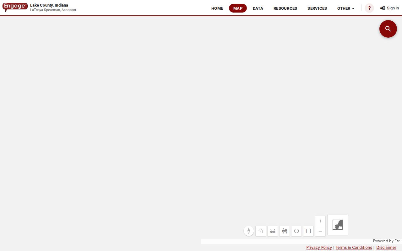
County GIS work in 2008 and 2009 explicitly dealt with owner addresses and actual parcel addresses as different data. Save both. That distinction explains why the tax roll and map can display two municipalities without either record being wrong.
Map an East Chicago Block
The map method moves outward from one confirmed parcel. XSoft documentation describes click, hover, circle, polygon, select, and measure tools. Dynamic ArcGIS labels were not fully verifiable during research, so rely on the parcel card for names and identifiers rather than assuming every popup exposes the same fields.
- Find the target address in Engage and confirm its parcel ID and situs.
- Open the parcels immediately north, south, east, and west, including lots across the street.
- Copy each owner and mailing address from its own card. Never infer a shared owner from map proximity.
- Compare legal descriptions and recorder deeds when a boundary or ownership link matters.
- Use the measuring or shape tools to define the block, then keep the scope fixed.
This creates a small, auditable parcel inventory. If the question expands beyond the immediate block, the East Chicago street directory explains the longer address chain.
East Chicago Boundary Evidence
The Lake County Surveyor maintains official maps and section-corner information and has a role in county GIS. Its page, captured below, is the better stop for a boundary question than a commercial neighbor display.
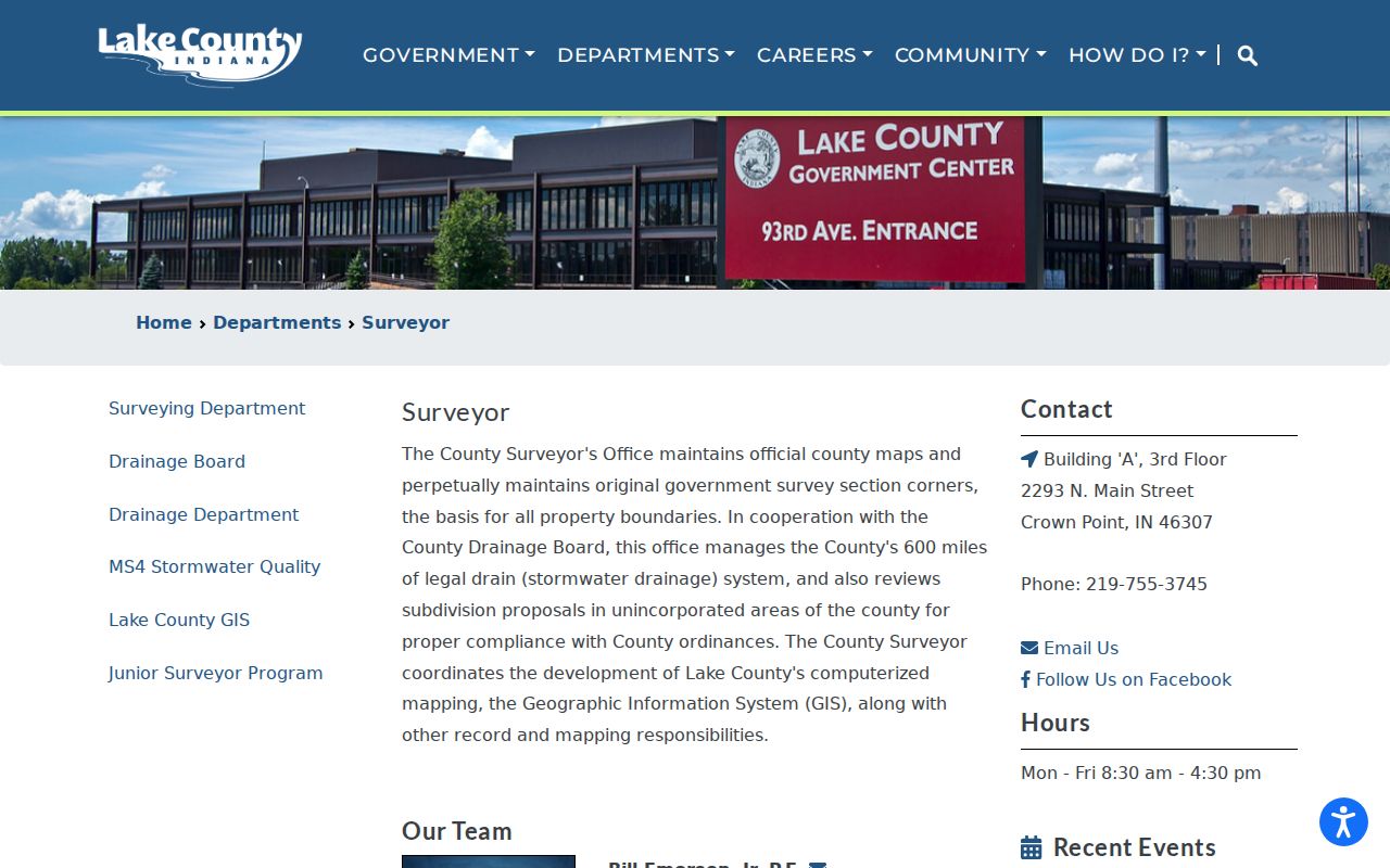
Parcel adjacency can be visually misleading near alleys, rights of way, rail corridors, and irregular lots. Use recorded plats and survey material when the exact legal relation matters.
East Chicago Voter Block Limits
Indiana Voters validates an individual's registration, polling place, ballot, and county contact. It is not an open household directory. Indiana also provides State Form VRG-24 for requests for computerized voter data, including walking-list uses, but Lake County does not post a current fee or a promise of block-level fields.
The Lake County Board of Elections publishes election contacts and map resources. Its page appears below.
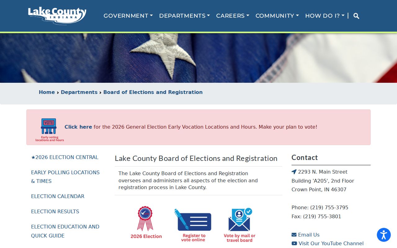
Participants in Indiana's Address Confidentiality Program receive protection under state law. A missing or shielded address can therefore be intentional and lawful.
East Chicago Community Connections
East Chicago's consolidated planning material names the East Chicago Urban Enterprise Association, but no public member roster or complete neighborhood-association directory was found. That is a genuine access boundary. An organization name can establish a civic presence in an area without identifying its present members.
Urban Enterprise Association
Named in city planning records. No current public household membership directory was verified.
East Chicago Room
Historic city directories, phone books, yearbooks, newspapers, cemetery sources, and Sanborn maps. Temporarily closed for renovation.
IU Regional Archives
East Chicago church, civic, school, club, and historical-society collections with dated archival context.
Church directories, Elks and Kiwanis material, school records, and historical-society collections can help reconstruct past neighbors. They are time-stamped archives, not present-day rosters.
East Chicago's Twin-City Blocks
East Chicago's western city and Indiana Harbor developed with a “Twin City” identity shaped by rail and industrial geography. A Columbus Drive overpass linked the two sides in the 1930s. That history matters when older community records use Indiana Harbor, East Chicago, or a short exchange label for places now read as one city.
Do not convert those labels too quickly. Preserve the exact wording, then test it against historic maps and street intersections. This avoids forcing a person or club into the wrong side of the city.
Note: A ZIP mailing line also does not prove city jurisdiction; confirm the situs and parcel map before counting a lot as East Chicago.
Official East Chicago Neighbor Records
Commercial neighbor tools may merge old address files, phone data, and other sources without showing their dates. Official records are narrower but disclose the custodian and the kind of fact recorded. That difference is more useful than a broad name list.
| Source Type | Best Use | Main Limit |
|---|---|---|
| Assessor and GIS | Current parcels, owners, and map position | Ownership is not occupancy |
| Recorder | Legal title and transfer history | Portal access is account-gated |
| Election office | Individual validation and precinct geography | Protected data and request rules apply |
| Commercial category | Possible leads | Dates, provenance, and accuracy may be unclear |
Confirm a useful lead with the office responsible for the record. Do not treat an aggregated profile as proof of a present household.
Respect East Chicago Neighbor Privacy
Public parcel records do not expose a complete household. Renters, children, relatives, roommates, and other occupants may be absent. Utility, delivery, and driver information is not an open substitute. Indiana's Address Confidentiality Program and protected-voter rules can lawfully hide an address.
Stop when the source stops. Record “not shown” instead of filling a gap with a guess. East Chicago neighbors have the same right to safety and privacy whether they own, rent, or appear in no public directory at all.
Keep a short source log for each parcel checked. Note the parcel number, physical address, map date, owner field, and the exact office that supplied the fact. If a name appears only in a club program, church directory, or alumni list, record that publication year too. These dated notes prevent a historical neighbor from being mislabeled as a current resident and make later corrections much easier.
Lawful use. Use neighbor records for civic knowledge, reconnection, and personal safety. Never watch, harass, intimidate, or harm anyone.